“NETWORK OF DANUBE WATERWAY ADMINISTRATIONS” · 2010-09-16 · “NETWORK OF DANUBE WATERWAY...
20
“NETWORK OF DANUBE WATERWAY ADMINISTRATIONS” South-East European Transnational Cooperation Programme STATUS QUO REPORT ON ENC ACTIVITIES SK - SVP Document ID: O 5.20 Activity: 5.2 Author / Project Partner: Date: Version: Maros Lapsansky / SVP Eva Petrikova/SVP 2009-09-14 0.1 Maros Lapsansky / SVP Eva Petrikova/SVP 2009-10-30 Draft version Maros Lapsansky / SVP Eva Petrikova/SVP 2010-01-20 Final version
Transcript of “NETWORK OF DANUBE WATERWAY ADMINISTRATIONS” · 2010-09-16 · “NETWORK OF DANUBE WATERWAY...
“NETWORK OF DANUBE WATERWAY ADMINISTRATIONS”
South-East European Transnational Cooperation Programme
STATUS QUO REPORT ON ENC ACTIVITIES
SK - SVP
Document ID: O 5.20
Activity: 5.2
Author / Project Partner: Date: Version:
Maros Lapsansky / SVP
Eva Petrikova/SVP 2009-09-14 0.1
Maros Lapsansky / SVP
Eva Petrikova/SVP 2009-10-30 Draft version
Maros Lapsansky / SVP
Eva Petrikova/SVP 2010-01-20 Final version
TABLE OF CONTENTS
1 LIST OF ABBREVIATIONS ...................................................................................................................................... 3
2 SCOPE OF DOCUMENT......................................................................................................................................... 4
3 IENC COVERAGE................................................................................................................................................... 5
4 COVERAGE OF DEPTH INFORMATION ................................................................................................................. 8
5 IENC PRODUCTION PROCESS ............................................................................................................................... 9
5.1. Used software.............................................................................................................................................. 9
5.2. Production and maintenance process ......................................................................................................... 9
6 IENC PUBLICATION PROCESS ............................................................................................................................. 13
7 IENC SOURCES AND ACCURACY......................................................................................................................... 14
8 INLAND ECDIS STANDARD ................................................................................................................................. 15
9 UTILISATION OF LOCATION CODES AND RIS INDEX........................................................................................... 16
10 COOPERATIONS ................................................................................................................................................. 17
11 CHART UPDATES, UPDATING CIRCLE ................................................................................................................. 19
O 5.20 Page 3 of 20
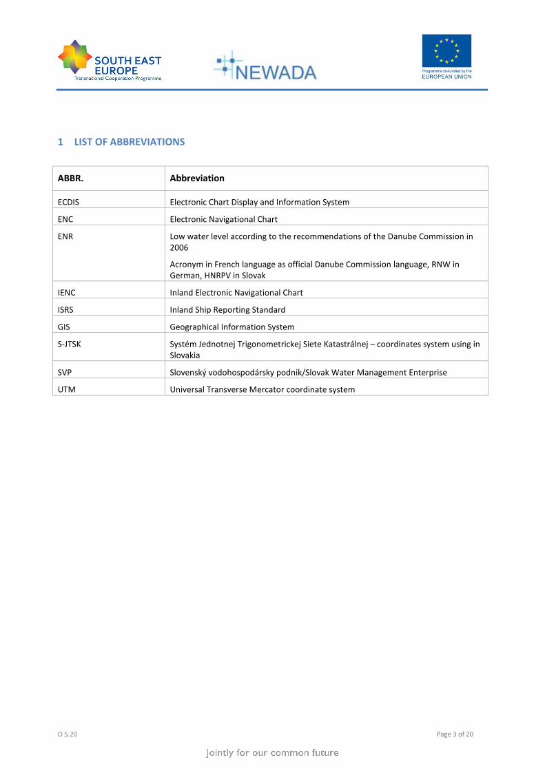
1 LIST OF ABBREVIATIONS
ABBR. Abbreviation
ECDIS Electronic Chart Display and Information System
ENC Electronic Navigational Chart
ENR Low water level according to the recommendations of the Danube Commission in
2006
Acronym in French language as official Danube Commission language, RNW in
German, HNRPV in Slovak
IENC Inland Electronic Navigational Chart
ISRS Inland Ship Reporting Standard
GIS Geographical Information System
S-JTSK Systém Jednotnej Trigonometrickej Siete Katastrálnej – coordinates system using in
Slovakia
SVP Slovenský vodohospodársky podnik/Slovak Water Management Enterprise
UTM Universal Transverse Mercator coordinate system
2 SCOPE OF DOCUMENT
Activity 5.2 is related to the harmonization of activities in the field of Inland ENC production and distribution.
According to description of work SWP 5.2 (Task 5.2.3) every partner shall identify and describe the status quo on
ENC activities and what are the problems. The status quo shall at least contain relevant information about:
• IENC coverage of the national stretch (incl. reasons and solution if this is not achieved so far)
• Availability of depth information within the Inland ENCs
• The IENC production process from raw GIS data into IENC objects, involved persons or organisations, used
equipment and software tools
• IENC publication process (distribution of updates and new releases)
• Sources (data basis) and accuracy for IENC charts
• Create and maintain IENCs according to the Inland ECDIS Standard
• Cooperations
• Updates, updating circle
O 5.20 Page 5 of 20
3 IENC COVERAGE
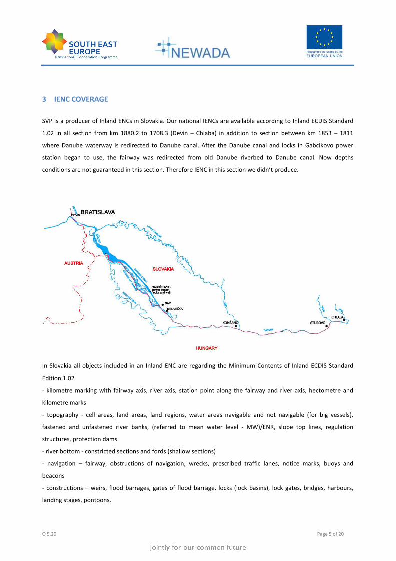
SVP is a producer of Inland ENCs in Slovakia. Our national IENCs are available according to Inland ECDIS Standard
1.02 in all section from km 1880.2 to 1708.3 (Devin – Chlaba) in addition to section between km 1853 – 1811
where Danube waterway is redirected to Danube canal. After the Danube canal and locks in Gabcikovo power
station began to use, the fairway was redirected from old Danube riverbed to Danube canal. Now depths
conditions are not guaranteed in this section. Therefore IENC in this section we didn’t produce.
In Slovakia all objects included in an Inland ENC are regarding the Minimum Contents of Inland ECDIS Standard
Edition 1.02
- kilometre marking with fairway axis, river axis, station point along the fairway and river axis, hectometre and
kilometre marks
- topography - cell areas, land areas, land regions, water areas navigable and not navigable (for big vessels),
fastened and unfastened river banks, (referred to mean water level - MW)/ENR, slope top lines, regulation
structures, protection dams
- river bottom - constricted sections and fords (shallow sections)
- navigation – fairway, obstructions of navigation, wrecks, prescribed traffic lanes, notice marks, buoys and
beacons
- constructions – weirs, flood barrages, gates of flood barrage, locks (lock basins), lock gates, bridges, harbours,
landing stages, pontoons.
O 5.20 Page 6 of 20
European agreement on main inland waterways of international importance (AGN) defines the waterways of
international importance, ports of international importance and the technical and operational characteristics of
the inland waterways of international importance. According this agreement the Danube is a waterway with the
notation E 80.
Ministry of Transport, Posts and Telecommunications of the Slovak Republic emits Decree about details on the
inclusion of waterways and their individual sections. Waterways are classified into classes by local and
international importance. The most important parameter is size of ship which can sails in a waterway. By this
decree section of Danube from km 1880.2 to 1867 is in class VIb and section from km 1867 to 1708.2 is in class VII.
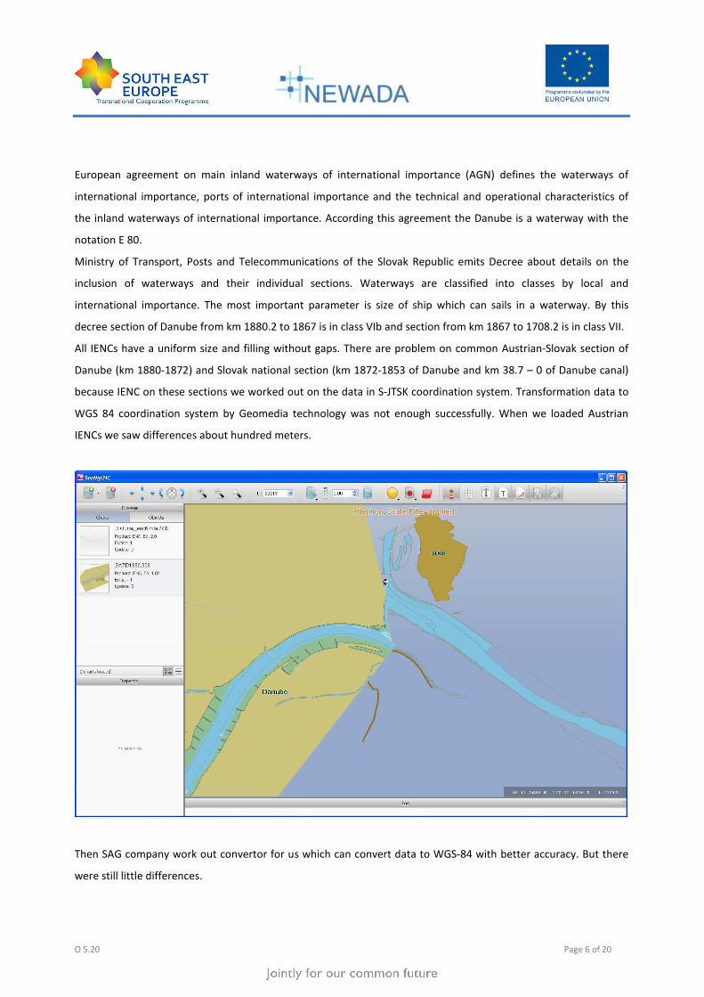
All IENCs have a uniform size and filling without gaps. There are problem on common Austrian-Slovak section of
Danube (km 1880-1872) and Slovak national section (km 1872-1853 of Danube and km 38.7 – 0 of Danube canal)
because IENC on these sections we worked out on the data in S-JTSK coordination system. Transformation data to
WGS 84 coordination system by Geomedia technology was not enough successfully. When we loaded Austrian
IENCs we saw differences about hundred meters.
Then SAG company work out convertor for us which can convert data to WGS-84 with better accuracy. But there
were still little differences.
O 5.20 Page 7 of 20
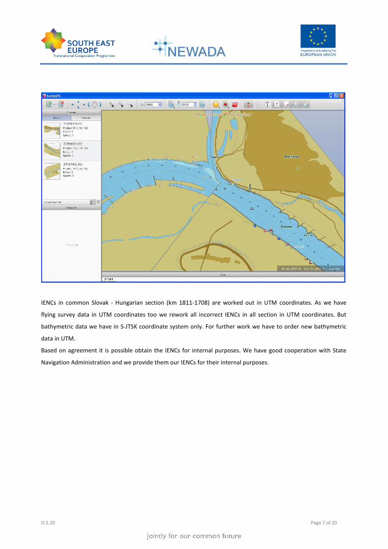
IENCs in common Slovak - Hungarian section (km 1811-1708) are worked out in UTM coordinates. As we have
flying survey data in UTM coordinates too we rework all incorrect IENCs in all section in UTM coordinates. But
bathymetric data we have in S-JTSK coordinate system only. For further work we have to order new bathymetric
data in UTM.
Based on agreement it is possible obtain the IENCs for internal purposes. We have good cooperation with State
Navigation Administration and we provide them our IENCs for their internal purposes.
O 5.20 Page 8 of 20
4 COVERAGE OF DEPTH INFORMATION
We used own bathymetric data from other department (Department of morphologic monitoring) based on ENR
(by the Danube Commission in 2006). They provide bathymetric data in S-JTSK coordinates system. Data in UTM
coordinates we will have to order from this department. In this moment we don’t have them therefore we rework
out Slovak-Austrian section and Slovak section in UTM coordinate system without depth data. So depth data didn’t
include in the Inland ENCs.
All of 3 sections of Danube waterway in Slovakia are covered with depth data. Common Austrian-Slovak section of
Danube (km 1880-1872) and Slovak national section (km 1872-1853) are monitored once a year, data are
evaluated and treated on the Department of morphological monitoring. Austria receives only a paper version of
common section. Density of measured profiles is 50 m.
Common Slovak - Hungarian section (km 1811-1708) are monitored every two years by both countries. This section
is divided into two parts km 1811-1749 and km 1749-1708.2. Monitoring of these sections is exchanged every two
years. Density of measured profiles is 50m too.
We would like provide depth points and isolines in scale 0.5 m., but depth point values are not visible, we don’t
know why. We provide only depth areas worked out in range 0-0, 0-2.5, 2.5 and more. We would like obtain depth
data in UTM coordinates and we hope to solve this problem.
Also we have depth data from Hungarian partner in section km 1811-1708.2 in altitude (Baltic Vertical Datum -
After Adjustment). But we need depth data based on ENR.
O 5.20 Page 9 of 20
5 IENC PRODUCTION PROCESS
5.1. Used software
IENC production is a complicated therefore we used a few kinds of software. We use following software:
Microstation by Bentley, version v8 2004 – graphical data processing
Microstation Geographics by Bentley,
Geomedia by Intergraph, version Professional 6.1 – connecting graphical data with its attributes values, export to
shape file format
Oracle Standard Edition 10g
ENC Tools by SevenCs GmbH – we have software support agreement with SevenCs therefore we used the newest
versions
ENC Designer 4.4.4,
ENC Optimizer 2.4.1
ENC Analyzer 2.8.0
Profile 2000 by Kongsberg - bathymetric data processing
Microstation InRoads by Bentley - bathymetric data processing, creating DTM of riverbed and isolines reduced to
ENR
5.2. Production and maintenance process
So far SVP is sole producer of IENCs but we cooperate with a few external companies – Geodis and Eurosense as
suppliers of flying survey data, YMS as a consultant for Geomedia technologies, FGS and SAG as consultants for
Maintenance and Web portal. Navigation information and information about harbours we obtain from State
Navigation Administration.
Most of IENC production within SVP is job of Department of water management development. This department
does everything from data processing to IENC production. It cooperate with Department of morphologic
monitoring which works out terrestrial measurements of Danube riverbed and then they process bathymetric data
from these measurements and provide us depth points, isolines and riverbed terrain points.
Our ENC charts content a lot of information. There are
• topographical information – breaklines, river banks, islands, dams, built-up areas, buildings, traffic routes;
• hydrographical information – stage gauges, staff gauges;
• kilometer marking – waterway axis, station points along waterway axis, kilometre and hectometre marks;
• constructions – weir, locks, bridges, ferrys, harbours, pontoons;
• navigation information – notice marks, buoys, beacons, fairway, wrecks, places of berth, anchorage areas;
O 5.20 Page 10 of 20
• borders and regions – international, provincial, county, communal, but this information are visible only in
Maintenance portal but they are not visible in ENCs
• depth information – depth points, isolines and riverbed terrain points, but this information are not visible
in ENCs, only depth areas
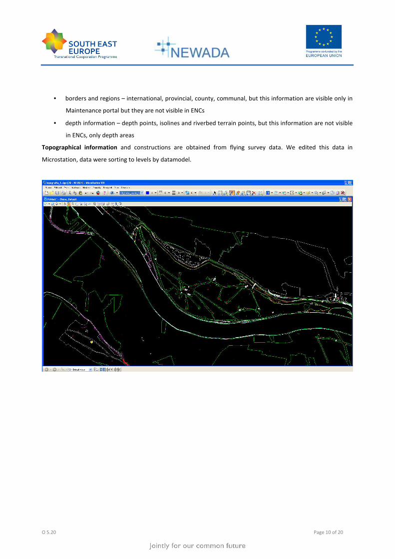
Topographical information and constructions are obtained from flying survey data. We edited this data in
Microstation, data were sorting to levels by datamodel.
O 5.20 Page 11 of 20
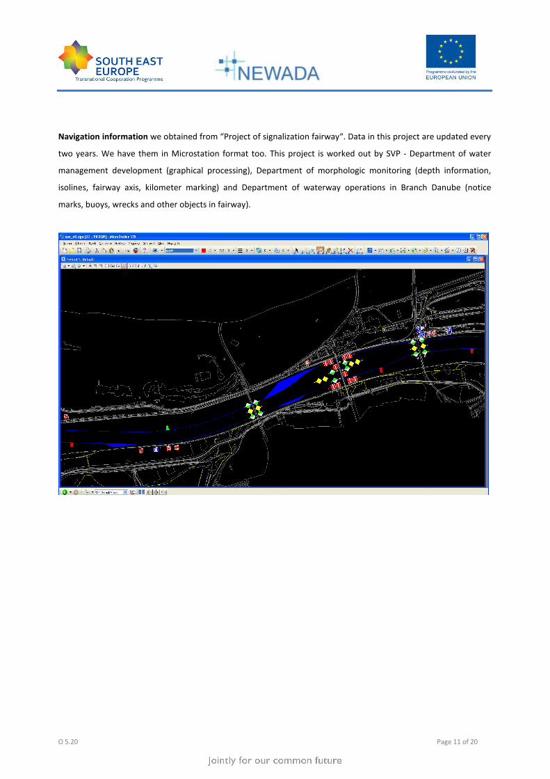
Navigation information we obtained from “Project of signalization fairway“. Data in this project are updated every
two years. We have them in Microstation format too. This project is worked out by SVP - Department of water
management development (graphical processing), Department of morphologic monitoring (depth information,
isolines, fairway axis, kilometer marking) and Department of waterway operations in Branch Danube (notice
marks, buoys, wrecks and other objects in fairway).
O 5.20 Page 12 of 20
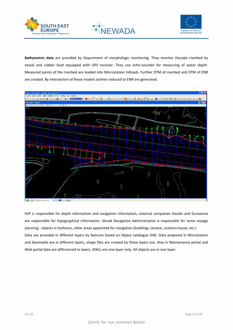
Bathymetric data are provided by Department of morphologic monitoring. They monitor Danube riverbed by
vessel and rubber boat equipped with GPS receiver. They use echo-sounder for measuring of water depth.
Measured points of the riverbed are loaded into Microstation InRoads. Further DTM of riverbed and DTM of ENR
are created. By intersection of these models isolines reduced to ENR are generated.
SVP is responsible for depth information and navigation information, external companies Geodis and Eurosense
are responsible for topographical information. Slovak Navigation Administrative is responsible for some voyage
planning - objects in harbours, other areas appointed for navigation (buildings, service, customs house, etc.)
Data are provided in different layers by features based on Object catalogue D4D. Data prepared in Microstation
and Geomedia are in different layers, shape files are created by these layers too. Also in Maintenance portal and
Web portal data are differenced to layers. IENCs are one-layer only. All objects are in one layer.

O 5.20 Page 13 of 20
6 IENC PUBLICATION PROCESS
Charts are not published yet. As already mentioned we had problem with transformation data between coordinate
systems and we had problem with some attribute values therefore we don’t have worked out all section yet. We
are thinking to publish at least some maps which are correct. We would like publish them on our web site
(www.svp.sk) as soon as possible. They will publish in S-57 format and they will be available for free.
O 5.20 Page 14 of 20
7 IENC SOURCES AND ACCURACY
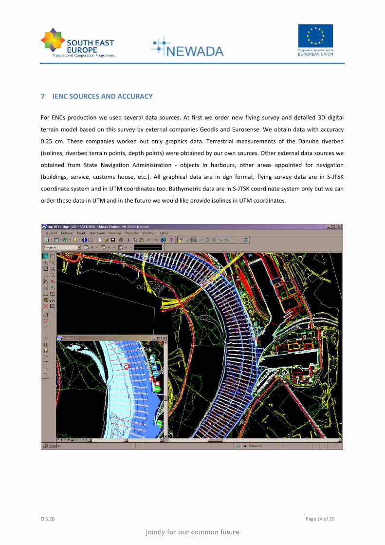
For ENCs production we used several data sources. At first we order new flying survey and detailed 3D digital
terrain model based on this survey by external companies Geodis and Eurosense. We obtain data with accuracy
0.25 cm. These companies worked out only graphics data. Terrestrial measurements of the Danube riverbed
(isolines, riverbed terrain points, depth points) were obtained by our own sources. Other external data sources we
obtained from State Navigation Administration - objects in harbours, other areas appointed for navigation
(buildings, service, customs house, etc.). All graphical data are in dgn format, flying survey data are in S-JTSK
coordinate system and in UTM coordinates too. Bathymetric data are in S-JTSK coordinate system only but we can
order these data in UTM and in the future we would like provide isolines in UTM coordinates.

O 5.20 Page 15 of 20
8 INLAND ECDIS STANDARD
IENCs are produced according Edition 1.02 of the Inland ECDIS Standard. But we would like converted to higher
version. It is planned to publish updates of the IENCs for each version of the standard as soon as it is official.
We control quality ongoing during production process. The most important objects are controlled only. The IENCs
quality control checks haven’t been by the ENC Analyzer yet. Though we have this software and we will use it after
training courses.
O 5.20 Page 16 of 20
9 UTILISATION OF LOCATION CODES AND RIS INDEX
The first version of RIS Index in Slovakia was created in 2007 by KIOS Company. This version is used in “Notice to
Skippers” application. It is not published anywhere but it is possible provide it on request.
State Navigation Administration (SPS) manage RIS Index in Slovakia now. In this time they work out a new version
which will already available. There are a few new objects and data are updated in this version. First public version
should be finished in next weeks and it will be contain basic objects data only.
SPS is responsible for the provision of the Minimum Data (i.e. also the RIS Index) as prescribed in the Annex I of the
RIS Directive 2005/44/EC in Slovakia. They provide RIS index according the RIS Index Encoding Guide.
SPS provides RIS Index for all section of Danube fairway in Slovakia (km 1880 – 1708). So far it doesn’t provide RIS
Index for other fairway.
It is not clear in this time how often SPS will update of the RIS Index.
Objects in the RIS Index are not aligned with the objects in the IENCs. Objects in our IENCs aren’t encoded with the
20 digit ISRS Location Code. Development of IENCs was not coordinated with development of RIS Index, data are
not fully harmonized (e.g. different names of some objects). Our next task will be cooperated with SPS and
synchronized IENCs with RIS Index.
O 5.20 Page 17 of 20
10 COOPERATIONS
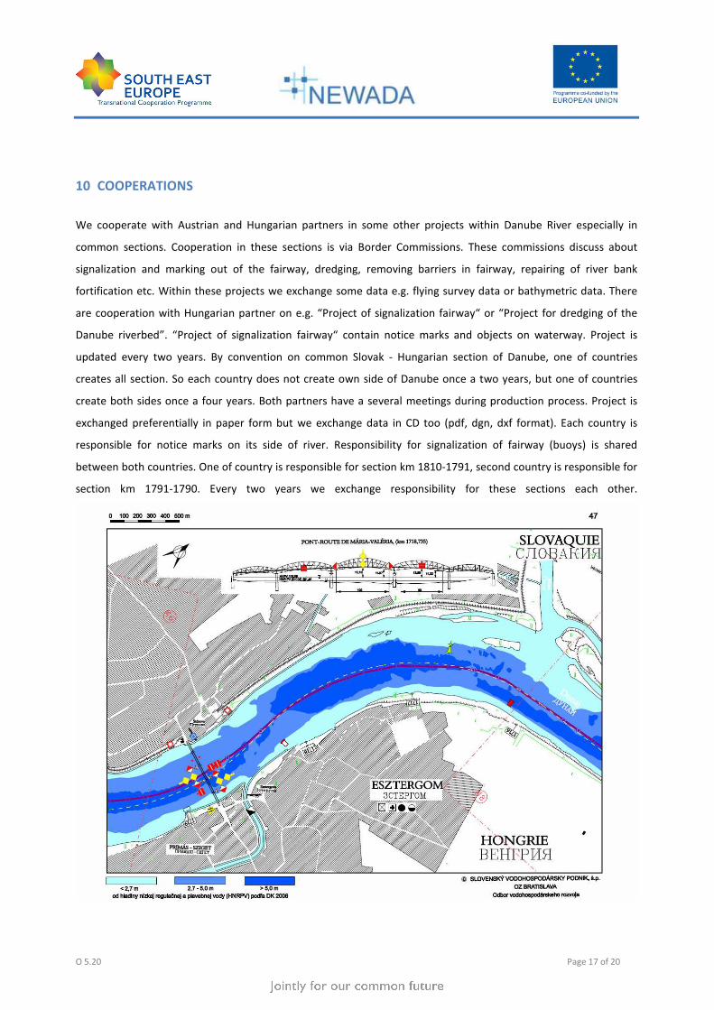
We cooperate with Austrian and Hungarian partners in some other projects within Danube River especially in
common sections. Cooperation in these sections is via Border Commissions. These commissions discuss about
signalization and marking out of the fairway, dredging, removing barriers in fairway, repairing of river bank
fortification etc. Within these projects we exchange some data e.g. flying survey data or bathymetric data. There
are cooperation with Hungarian partner on e.g. “Project of signalization fairway“ or “Project for dredging of the
Danube riverbed”. “Project of signalization fairway“ contain notice marks and objects on waterway. Project is
updated every two years. By convention on common Slovak - Hungarian section of Danube, one of countries
creates all section. So each country does not create own side of Danube once a two years, but one of countries
create both sides once a four years. Both partners have a several meetings during production process. Project is
exchanged preferentially in paper form but we exchange data in CD too (pdf, dgn, dxf format). Each country is
responsible for notice marks on its side of river. Responsibility for signalization of fairway (buoys) is shared
between both countries. One of country is responsible for section km 1810-1791, second country is responsible for
section km 1791-1790. Every two years we exchange responsibility for these sections each other.

O 5.20 Page 18 of 20
“Project for dredging of the Danube riverbed” is worked out every two years. Project determines location of
dredging. Both countries divide these locations equally.
We have similar cooperation with Austrian partner.
O 5.20 Page 19 of 20
11 CHART UPDATES, UPDATING CIRCLE
Our charts are not published yet therefore discussion about updates is difficult. As already mentioned we are
working out on ENCs update of common Austrian – Slovakian and national section where transformation data
between coordinates system was not successful. Where it will be - it is difficult question. We hope soon. And then
we will expect feedbacks.

O 5.20 Page 20 of 20
- End of document -